
The above diamond interchange, where US Highways 29 and 78 and GA Highways 8, 10, and 316 meet, is located just outside Athens in Oconee County.
Before 1995, US 78/GA 10 (a.k.a. "Atlanta Highway") continued northward into Athens/Clarke County and dead-ended into what was US 29/GA 8 at the location in the next photo below:
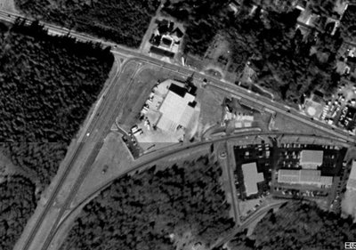
Above: Old US 78/GA 10 (now US 78 Bus/GA 10) dead ends at Old US 29/ Old GA 8 just inside Athens/Clarke County.
When GA 316 was opened all the way to the Athens Perimeter (GA 10 Loop/422) in 1995, US Highways 29 and 78 plus GA 8 joined 316 on its final leg.
The next photo shows GA 316's eastern end at the Athens Perimeter.

Once you cross the bridge over the Athens Perimeter, the road becomes Epps Bridge Parkway, which will put you back on US 78 Bus/GA 10 eastbound just west of Downtown Athens.
US 29/78 and GA 8 join GA 10 Loop/422, proceeding eastward toward the University of Georgia.
In 1989, one of my favorite Athens-grown bands, The B-52s, immortalized the Atlanta Highway in their song "Love Shack".... love shack, baby love shack!!! :)
That concludes your "roadgeek treat" for tonight. Thanks for visiting and please come back again.

No comments:
Post a Comment